Geospatial-AI

Sentinel-1, with a constellation of radar satellites, operates day and night, providing freely accessible, consistent, and time series SAR images of every part of the Earth.

Information on the spatial distribution of crops is of great importance for the sustainable management and development of agricultural practices and thus for national and global economic developmen

Interactive computational notebooks are browser-based tools that support shared workflows, coding, data, and visualisations.

Geo-referenced time series are data describing the time-changing behavior of one or more attributes at fixed locations and consistent time intervals [1].


The mechanism by which we observe a phenomenon that unfolds in space and time fundamentally determines what we can learn about that phenomenon.
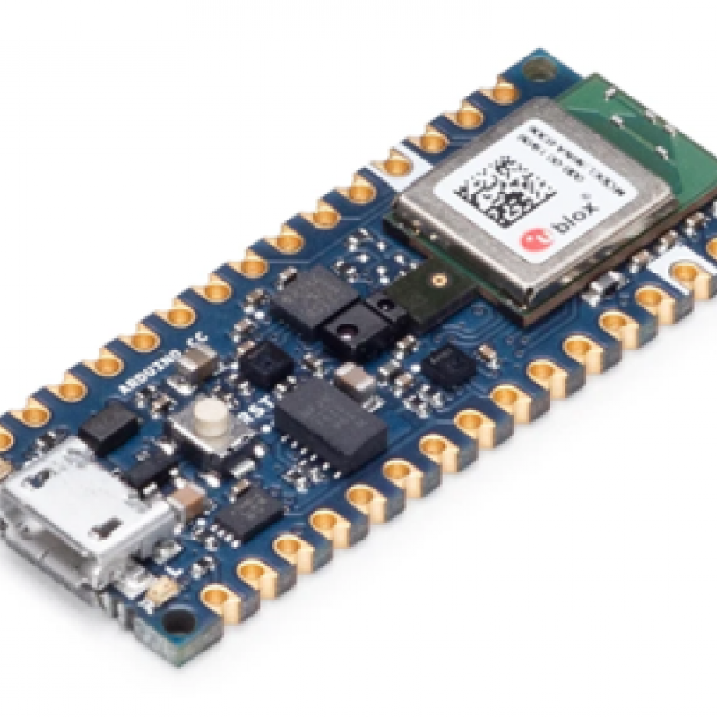
New and affordable sensors (e.g., Arduino Nano 33 BLE Sense, Sensebox) have greatly increased the potential to collect finer-grained environmental information, especially on topics impacting on hum

As a result of hardware miniaturization and ubiquitous internet access, there is a wealth of user- and sensor-generated geographic content available, from social media activity to private weather s

Optimal performance of computations is one important promise that databases make to their user community.