Serkan Girgin
The rapid pace of urbanization underscores the need for stakeholders in sustainable development to view cities and their surrounding regions as interconnected systems rather than
Grid-based travel friction grids represent travel cost for moving through each cell of a landscape, enabling flexible and spatially detailed travel-time calculations.
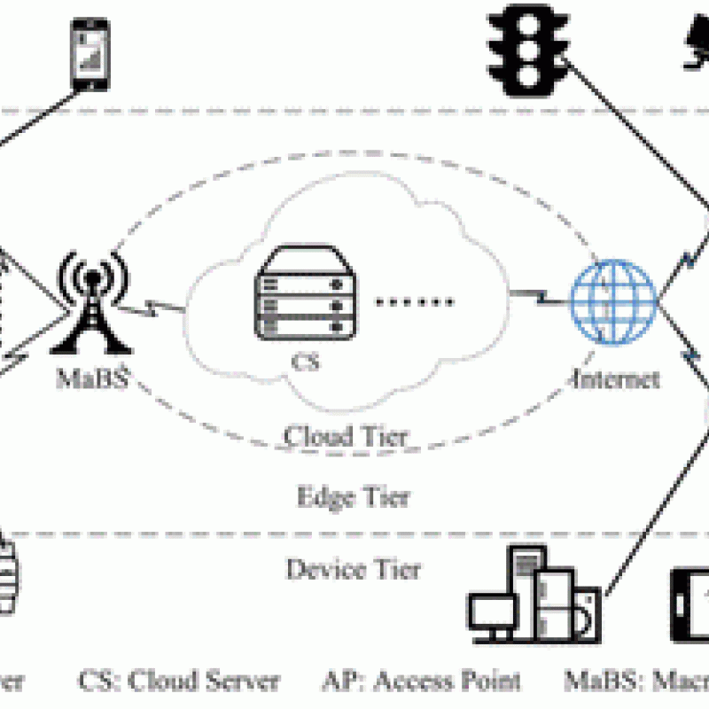
Unmanned Aerial Vehicles (UAVs) are increasingly used within a Mobile Edge Computation (MEC) network where the UAV is made intelligent by equipping it wit
Unmanned Aerial Vehicles (UAVs) are increasingly used by public and private organizations such as the Politie, Brandweer or Rijkswaterstaat.
ITC research staff from the GIP, PGM and NRS departments, in collaboration with CRIB have developed global maps that estimate land-based trave


