Resource Security

Synthetic-aperture radar (SAR) data from Sentinel-1 satellites provides unprecedented opportunity to evaluate inter-annual flood characteristics, although consen
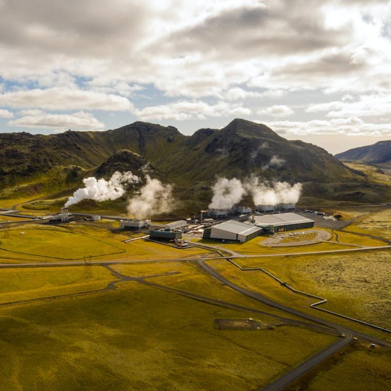
Geothermal systems are one of the sustainable sources of our future energy mix.

Water level in lakes and rivers is a critical parameter to monitor for water managers. It captures the state of surface waters, and, if placed strategically, can be used in e.g.
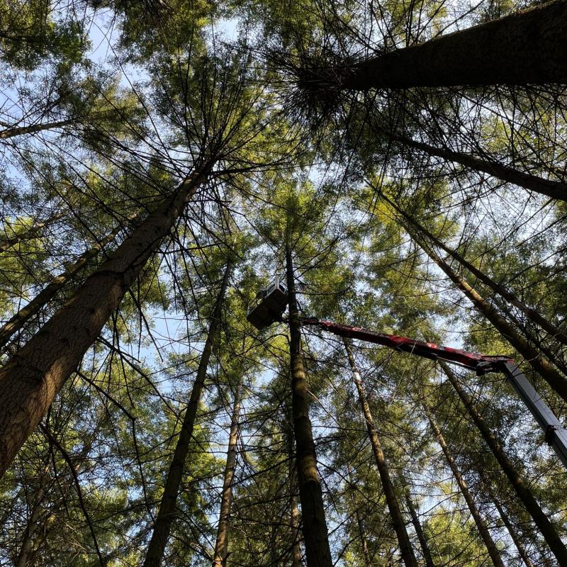
Forest health worldwide is increasingly deteriorated by droughts.

Estimating aboveground biomass is essential for generating vegetation inventories and understanding carbon cycles.

Droughts are exacerbated by climate change, which makes them more frequent, prolonged, and catastrophic.

As an essential part of food security, diet diversity often requires frequent household food security surveys to monitor.

Sufficient nutrition remains a major challenge for rural households in the Sub-saharan region of Africa.

The recent 2018-2020 drought events that occurred in the Netherlands were considered as extremes, creating great social and economic damage in agriculture production.

This study aims to assess the applicability of satellite rainfall estimates (SRE) in crop growth modelling by means of the Aquacrop model.