Estimating Evapotranspiration in ASALs with ENMAP, PRISMA, and Sentinel-2 hyperspectral narrowbands

The topic is also suitable for GEM students in track 3 – GEM for Ecosystems & Natural Resources.
Suggested electives: Advanced Image Analysis | Environmental Monitoring with Satellite Image Time Series | Remote Sensing and Modelling of Primary Productivity and Plant Growth
Statistics, agronomy and programming background/experience are highly recommended.
ET is the water lost to the atmosphere through plant stomata during photosynthesis and from the surface following a wetting event. It is an important component of the global water cycle and the energy cycle (as latent heat). Earth observation-based ET models are widely used to address important questions in Earth system science, but contain much uncertainty. Uncertainties are especially high in ASALs because of the extreme climate. Much of model uncertainty is due to inadequate input data. Hyperspectral narrowbands are especially sensitive to biochemical and biophysical changes related to plant growth and development. The bands have rarely been used to reduce ET model uncertainty because sensors were in short supply. This roadblock no longer exists with the recent launch of spaceborne hyperspectral missions: Germany Space Agency’s ENMAP and Italian Space Agency’s PRISMA missions.
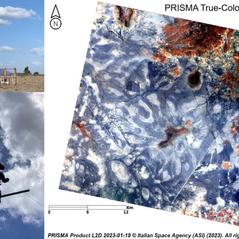
The main aim of this topic is to evaluate the performance of ENMAP, PRISMA, and Sentinel-2 hyperspectral narrowbands in estimating evapotranspiration (ET). The analysis focuses on the Kapiti Research station in Machakos County, Kenya where regular eddy covariance flux tower and lysimeter ET measurements are being collected alongside ground-based FLOX tower spectroradiometric data. The station is situated in one of Kenya’s main arid and semi-arid lands (ASALs). The topic can be broken down into three main tasks: (i) collect and process ground data; (ii) extract FLOX, ENMAP, PRISMA, Sentinel-2 spectral information in the footprint of the towers and lysimeter; and (iii) evaluate narrowband performance with machine learning or a process-based technique. ECOSTRESS on board the international space station is collecting thermal infrared in the study area. Thermal infrared is widely used to estimate ET. These data could be included in the evaluation to round out the analysis. This research supports an ongoing European Space Agency project: https://www.itc.nl/hyrelief/.
Marshall, M., Thenkabail, P., Biggs, T., Post, K., 2016. Hyperspectral narrowband and multispectral broadband indices for remote sensing of crop evapotranspiration and its components (transpiration and soil evaporation). Agric. For. Meteorol. 218, 122–134.
