Unraveling the complexity of compound flood causes
Suggested elective course(s)
- Multi-hazard modelling and Risk
- Physically-based hazard modelling
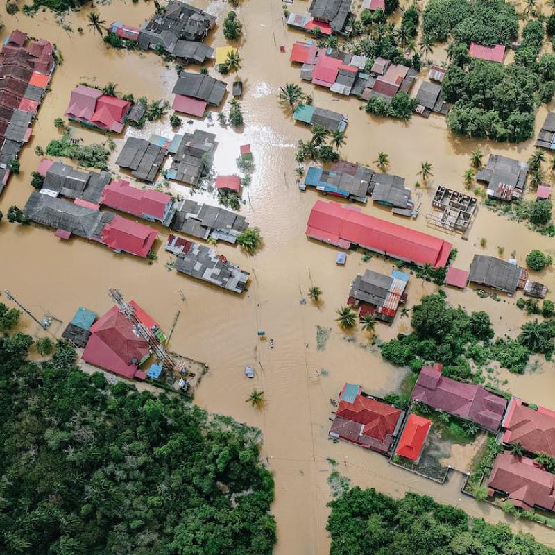
The Netherlands is a county filled with river systems, the protection of susceptible areas depends on our understanding of the likelihoods of flood occuring. Extreme rainfall has induced several floods in the South of the Netherlands in the past years, which have resulted in increased research on understanding the probabilities of floods, and the relationship with climate change. Between rainfall and floods is a complicated path of surface and subsurface water flows and storages. Both surface runoff and channelized flow as well as infiltration, groundwater flow and aquifers all combine in determining the final dynamics of a catchment. In the south of the Netherlands, the area of the Geul and Meuse rivers, understanding the causes of such extreme events can help improve mitigation and assist the quality of forecasting. Currently, modelling the hydrology of such areas is often carried out in a ‘lumped’ manner, were water dynamics are simplified in hydrological units. Spatiall distributed models require additional research to verify the behavior of local surface-subsurface water balance. In this research project, the student will analyze how surface and ground-water systems combine and might be captured in physically-based simulations to accurately model (flash) flood events. The research will include evaluation of coupled 1d-2d flow models, as well as multi-layered spatial ground water flow. The research will use observation datasets to calibrate and validate on multiple events the workings of sub-surface hydrology in the Geul river system.
In this project, the student will use physically-based modelling tools (LISEM, FastFlood) to analyze the dynamics of the flood events. These modelling tools require input data that described the landscape. In addition to data from the government, and results of previous studies in the area, additional fieldwork might be undertaken depending on the specific needs of the work. This might involve soil testing, soil moisture observations. Finally, the topic is linked with ongoing efforts by organisations such as the Water-Board Limburg and Deltares to improve understanding of the Geul catchment. Interactions and interviews with these organisations might be part of the research.
Bevacqua, E., Maraun, D., Vousdoukas, M. I., Voukouvalas, E., Vrac, M., Mentaschi, L., & Widmann, M. (2019). Higher probability of compound flooding from precipitation and storm surge in Europe under anthropogenic climate change. Science advances, 5(9), eaaw5531.