FoodGravity: understand food flows using classic Gravity model and explainable Artificial Intelligence techniques
The topic is open for also suitable for GEM students in track 1 – GEM for Urban-Rural Interactions.
The topic is open for also suitable for GEM students in track 3 – GEM for Ecosystems & Natural Resources.
Suggested elective: Advanced Image Analysis.
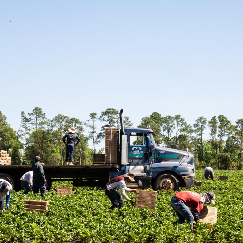
This MSc project contributes to a funded project. Image credit to: USDA under CC license.
In the past few years, unexpected disruptions such as the Ukraine war and the global pandemic reveal the fact that our food systems are highly connected and the physical flow of food is vulnerable to shocks. This calls for insights into how food is moved in space, which is essential to build resilient food systems that are connected by the flows. However, only national-level food flows (e.g., FAO trade data) are publicly available and most studies are conducted at country level. Data on inter-district food flows are typically not collected and thus not available to enhance resilience for disasters or analyze regional-specific deficits in food production and supply. Our knowledge of why and to where food moves in space are impeded by the empirical and model gaps. Yet, inter-district food flows (i.e., the amount of food that moves from production districts to consumption districts) are extremely useful to identify the weak links and disasters of the flows at a high-precision level and map the regions and districts that may need humanitarian support.
This project aims to develop an innovative food security simulation model that can generate district-level, high-resolution food flows based on spatial-explicit social-environmental features, to transform how food flows can be studied. We will integrate deep learning, a powerful artificial intelligence (AI) approach to a classic geographic “flow” model-Gravity model, to predict food flows between districts within a country. To gain insight on the influential features that determine the flows, explainable Artificial Intelligence (xAI) will be employed.
Nelson, A. et al. The resilience of domestic transport networks in the context of food security – A multi-country analysis. The resilience of domestic transport networks in the context of food security – A multi-country analysis (2021) doi:10.4060/cb7757en.
We could not cover the explainable AI part, only focus on building the model itself.