Agricultural adaptation to climate, policy, and prices; shifting crop choices in the Netherlands
The topic is open for also suitable for GEM students in track 1 – GEM for Urban-Rural Interactions.
The topic is open for also suitable for GEM students in track 3 – GEM for Ecosystems & Natural Resources.
Suggested elective: Weather impact analysis
The student should have good GIS skills; the annual vector files are large in size and effective analysis approached need to be identified. Use of remote sensing is not directly foreseen for this topic. Although this could be executed as a desktop study, field visits/reconnaissance and taking interviews would be encouraged.
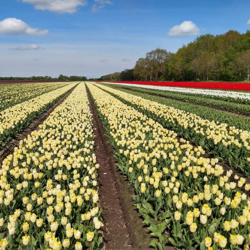
The frequency and intensity of extreme weather events is changing worldwide due to shifting climate conditions. The agricultural sector is heavily impacted by these changes; increases in drought or flooding damage crops and consequently have a negative effect on yield. Besides affecting food security and prices, this may have profound financial implications for farmers that face yield losses. Simultaneously, given the large spatial extent of agricultural activities globally, agriculture strongly influences hydrological, carbon, and nutrient cycles. Regulatory frameworks, at country or international level, are in place to mitigate negative effects of this influence. For example, excessive use of fertilizers impacts nature and surface water quality: regulations can then attempt to reduce the use and/or its impacts. Amidst changing regulations, uncertain weather, and uncertain prices farmers need to make decisions on which crops to cultivate.
The Netherlands is no exception to this; in the past years weather extremes have become more common and regularly resulted in crop losses. Moreover, Dutch regulations, which generally relate to agreements within the European Union, are subject to major changes. This for example has led to large farmer protests in 2022. Finally, external factors like the war in Ukraine resulted in changing prices of agricultural commodities. This study aims to get a better overview of ongoing adaptation practices in the Netherlands, particularly related to crop choices. The Netherlands is chosen partially because of the known (recent) dynamics and challenges, and also because there is good availability of detailed spatial data on crops grown.
The aim of this research is to assess where and when during the past 15 years changes have occurred in farmer crop choices, and to understand reasons behind these changes. The study will benefit from field-specific farmer crop reports that are freely available in vector format for the Netherlands since 2009 (in Dutch: basisregistratie gewaspercelen). Ideally, this analysis will be complemented with interviews with selected stakeholders. Key questions to address include:
- What are emerging crops for the Netherlands and why?
- Which crops have seen a significant reduction and why?
- Where in the Netherlands are such changes concentrated?
There is no adaptation needed really, as the topic is already interdisciplinary. Possibly, and to be discussed, for an M-SE student the focus could be a little more on stakeholder interviews, e.g. with farmers but for example also with organizations that promote and support the cultivation of drought-resistant crops (e.g.: GreenFood50 https://nederlandsequinoa.nl/) or other transformative initiatives (e.g.: https://www.herenboeren.nl/).