UAV Imaging Upscaling for Accurate 3D Model Generation using Deep Learning
Recommended elective courses: Advanced image analysis (Q1), Scene understanding with UAVs,
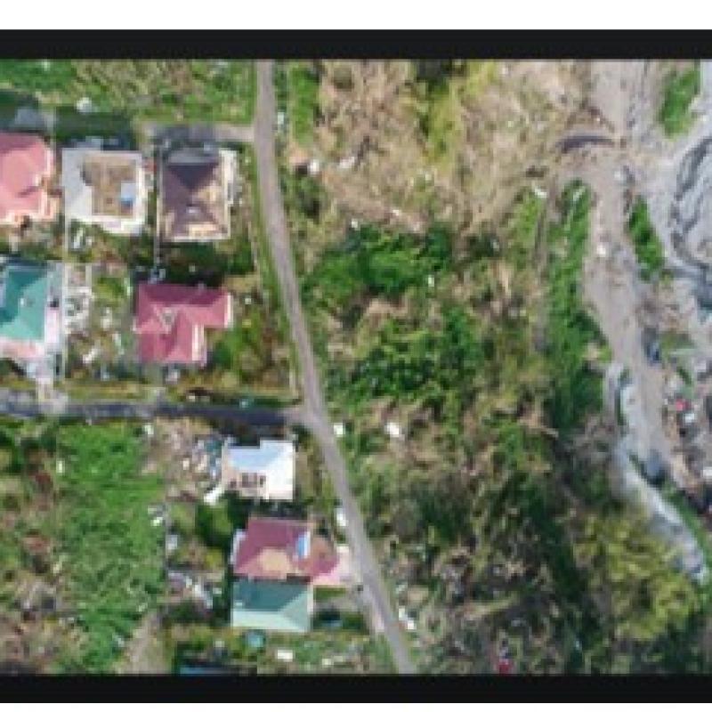
The creation of 3D models of objects like buildings and other man-made structures is an important field of applications for city modelling, urban planning, cultural heritage, and many other applications. The current consumer-grade UAV cameras are able to capture HD or 4K videos in the best case. This can result in less detailed 3D models affected by the footage resolution and possible blur in the images. This fact is also applicable to the archive and historical UAV images and videos that were taken for modelling the interest objects.
The advancement of deep learning methodologies has created new possibilities for upscaling and stabilizing UAV footage which can be taken further for creating better detailed and crisp or less noisy 3D models. Using deep learning models like the very-deep super-resolution VDSR is an attractive area of research to construct detailed and accurate 3D models out of the upscaled footage. The outcome of the research should find answers to the main question: How does the upscaled resolution of the UAV footage using deep learning techniques impact the quality of the 3D models generated?