Deep Learning for Urban Air Pollution Modeling
Good knowledge of Python programming language will be helpful for this MSc topic.
Staff Involved: Mahdi Farnaghi, Frank Ostermann
To model air pollution in urban environments while accounting for urban forms using convolutional neural networks (CNN) or Vision Transformers (ViT), open access earth observation (EO), and citizen science data
Keywords
Air Pollution, Deep Learning, Convolutional Neural Networks, Citizen Science, Earth Observation
Description
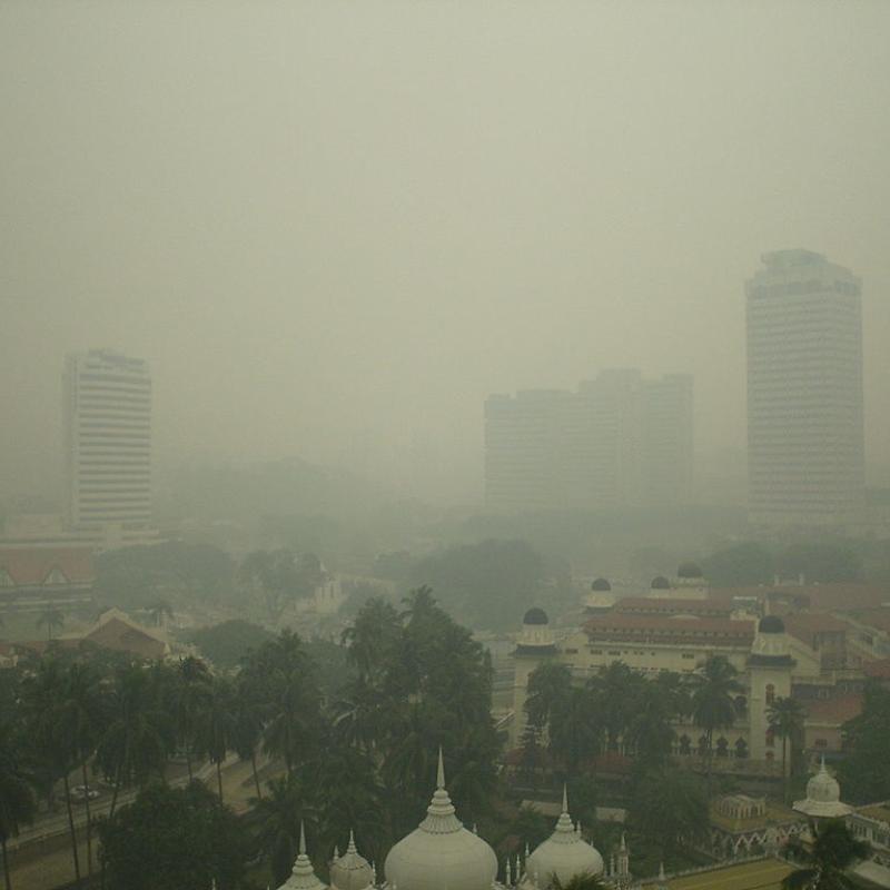
Air pollution can negatively impact human health and the environment, so understanding and addressing it is crucial for improving public health and the overall quality of life in cities. Modelling air pollution helps identify sources of pollution, predict future pollution levels, and evaluate the effectiveness of policies and actions to reduce pollution in urban areas.
Machine learning algorithms have been used over the past few years to model air pollutants' concentration in nonmonitored spots based on historical measurements and affecting environmental factors [1]. Meanwhile, one of the factors that have not been explored enough is the effect of different combinations of urban elements, e.g., land uses, street networks, high-rise building blocks, and green areas, on the dispersion of air pollutants [2]. The configuration of urban elements, known as urban forms[3], in combination with topography [4], directly impacts wind speed and circulation, which is essential to the accumulation and dispersion of air contaminants.
In this MSc. research, you will investigate the possibility of developing a vision-based deep learning algorithm for air pollution modelling using openly accessible Earth Observation. In particular, you will propose a model based on convolutional neural networks (CNN) or Vision Transformers (ViT) to directly estimate/predict air pollution from different data sources, including EO and meteorological data, while accounting for urban forms. Air quality data gathered by citizen scientists and the sensors installed by the municipalities will be used as the target value. You will investigate possible solutions to ensure that the model accounts for different urban forms in the final estimation/prediction.
Data
The following data sources will be used in this research
- Sentinel 1 and sentinel 2 EO data
- Meteorological data collected and disseminated by KNMI
- Air pollution data from http://samenmeten.rivm.nl
Workflow
The workflow of the MSc thesis will be as follows.
- A literature review on the utilization of deep learning for air pollution modelling
- A literature review on the effect of urban forms on air pollution modelling
- Data preparation
- Proposing a CNN or ViT model for air pollution estimation/forecasting from EO and meteorological data
- Model tuning and evaluation
- Study the role of urban forms using the developed model
[1] Yousefzadeh, M., Farnaghi, M., Pilesjö, P., and Mansourian, A. (2019). Proposing and investigating PCAMARS as a novel model for NO2 interpolation. Environmental Monitoring and Assessment, 191(3), 183.
[2] Kim, M.-H., and Gim, T.-H. T. (2022). Deep learning-based investigation of the impact of urban form on the particulate matter concentration on a neighborhood scale. Environment and Planning B: Urban Analytics and City Science, 0(0), 23998083221111162.
[3] Yang, J., Shi, B., Shi, Y., Marvin, S., Zheng, Y., and Xia, G. (2020). Air pollution dispersal in high density urban areas: Research on the triadic relation of wind, air pollution, and urban form. Sustainable Cities and Society, 54, 101941.
[4] Ghaemi, Z., Farnaghi, M., and Alimohammadi, A. (2015). Hadoop-based Distributed System for Online Prediction of Air Pollution Based on Support Vector Machine. Paper presented at the The 3rd International conference on Sensors and Models in Photogrammetry and Remote Sensing (SMPR 2015), in Int. Arch. Photogramm. Remote Sens. Spatial Inf. Sci., Kish Island, Iran.