Assessing saffron cultivation dynamics and yield variability in Iran with Sentinel-2 time series
- Suggested Elective Courses: Quantitative remote sensing of vegetation parameters
- Good programming experience is a prerequisite.
- The student is expected to spend 2-3 weeks in Torbat-Heydarieh in Iran for fieldwork in collaboration with the University of Torbat-Heydarieh and its Saffron Institute (if the political situation allows).
- The topic is open for also suitable for GEM students in track 3 – GEM for Ecosystems & Natural Resources.
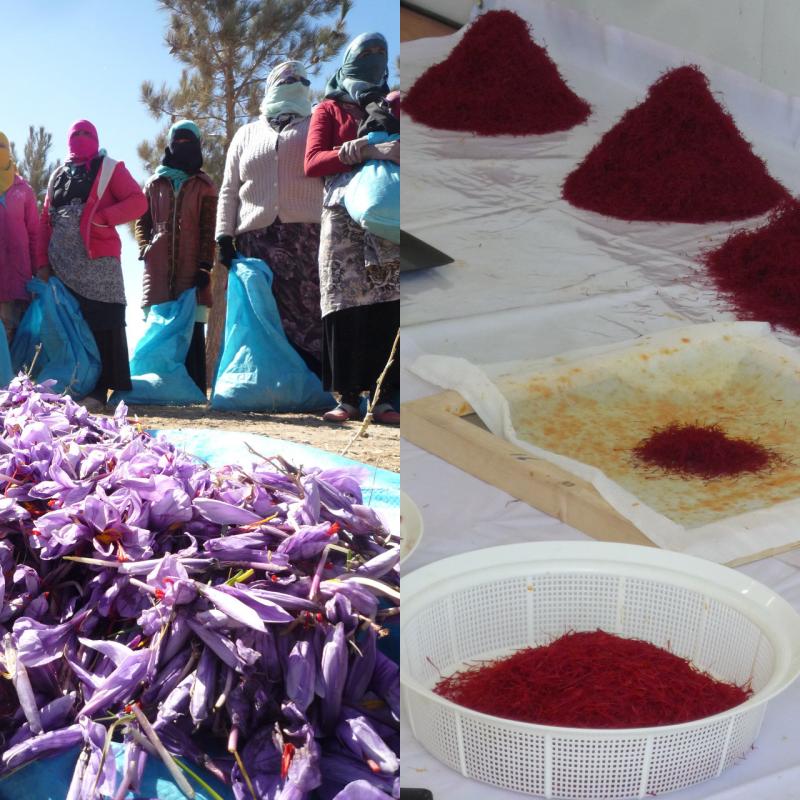
Saffron is the most costly spice by weight worldwide, and an important ingredient for Middle-Eastern and Mediterranean dishes, while also used medicinally. The high cost is partially a result of the labor-intensive production of this autumn-flowering crocus that demands harvesting flowers and separating its stigmas by hand. Iran accounts for about 90% of the world saffron production, which is concentrated in particular in its north-eastern Khorosan region. Climatic shifts affect saffron production, for example because the chilling requirement is not always met. In addition, gradual lowering of the groundwater table due to intensive irrigation (also for other crops) makes that the saffron water demand cannot always be met. During a fact-finding mission by ITC staff in Iran resource persons indicated that yield levels of saffron were reducing as a result, although this is yet to be confirmed by data. Fortunately, coordinated data collection is taking place by a specialized Saffron Institute in Torbat Heydariyeh, situated in the saffron-growing region, and also a former ITC MSc student (Keke Duan) has carried out research on mapping saffron fields with Sentinel-2 data. This research will build on that. To better understand what impacts environmental changes may have on saffron production, we want to be able to obtain spatial and temporal information on flowering abundance and yield. Frequently-acquired satellite images of 10-m resolution, such as obtained from Sentinel-2, in combination with relevant field data, can be an important input to achieve this. Saffron cultivation has quite distinct temporal characteristics if compared with other commonly-grown crops in the region (e.g. potatoes, sugar beets, cereals), but so far large-scale assessments of field-level yields do not exist. This research will therefore constitute a first attempt to achieve this.
The objectives listed are not the final scientific objectives, but reveal possible working directions.
- To obtain relevant temporal and spectral information from Sentinel-2 data;
- To classify saffron fields (and ages) for a large area for 2018-2022 to assess changes in saffron cultivation area.
- To build a database of field level yields through existing data and/or new farmer questionnaires;
- To correlate spectral/temporal information to field-level yields;
- To explain the field-to-field variability based on weather and ancillary environmental parameters.
In a previous MSc study, unique characteristics of saffron fields were determined from Sentinel-2 based on spectral and temporal behaviour. These are an effect of relative late planting of saffron (around August). Also saffron bulbs remain in the soil and produce for about five years; to help bulb sprouting the soil is ploughed (opened) each year. The timing of this practice would give the soil a reflectance different from its surroundings in a specific time of year. Therefore, sufficient ‘phenological’ clues exist and were explored, but have not yet linked to yield levels. In addition there is scope to scale saffron mapping results to a larger area, as a way to understand impact of climate variability and groundwater reductions on saffron farming. Google Earth Engine will be an important tool in this research.
- Vrieling A, M Meroni, R Darvishzadeh, et al. (2018). Vegetation phenology from Sentinel-2 and field cameras for a Dutch barrier island. Remote Sensing of Environment 215: 517-529
- MSc thesis Keke Duan (2020): https://essay.utwente.nl/84940/1/duan.pdf and resulting journal paper: https://doi.org/10.1016/j.jag.2021.102398
There are various possibilities for adaptation. We note that the topic links into a new MSE Q2 case study, whereby students got exposed to some of the challenges related to water availability and declining groundwater levels. Possible links between the analysis and these challenges can be made.